Services

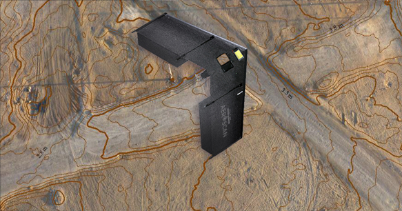
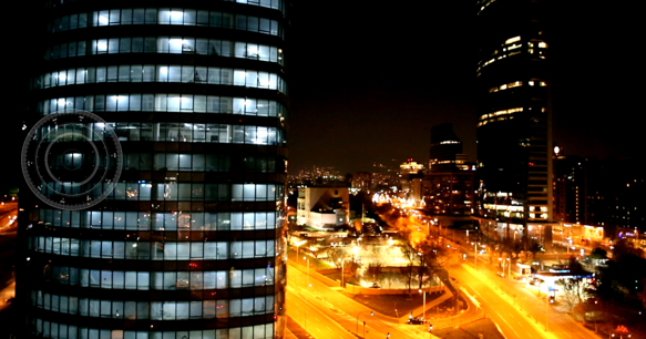
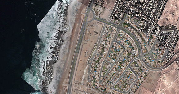
Georeferenced aerial photographs
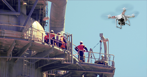
Application Areas

Master Plan of cities and regions.
Land use.
Land management.
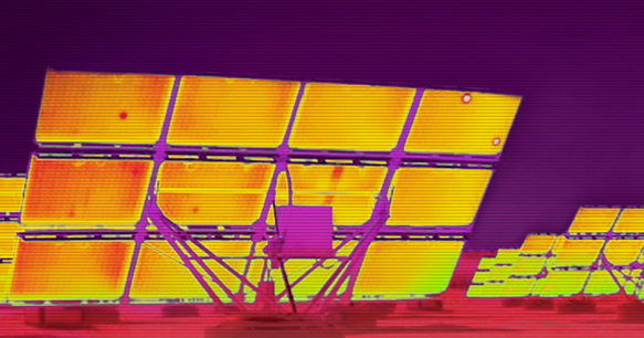
Geographic Information Systems (GIS).
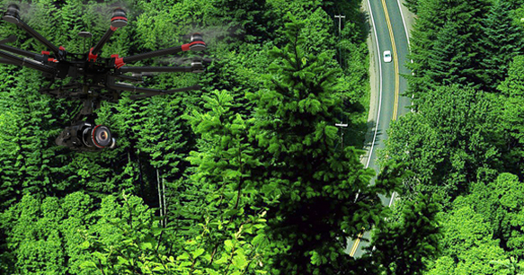
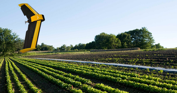
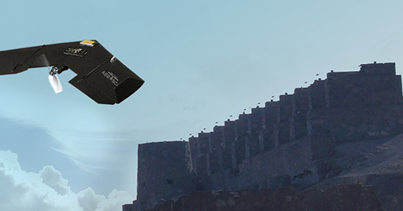
Features

High resolution images (2 cm / px).
Georeferenced mosaic of pictures.
Exported files to Google Earth and other softwares(. Kml,. Tiff,. Jpg).

Aerial surveying

Application Areas

Surveying services.
Contour lines.
Volumes analysis of large surfaces.
Stock pile monitoring.

Features

Georeferenced topography.
Speed ​​of data collection, 60 [hectares / hour].
Contours lines with a 3 [cm] of resolution.

DSM, Digital Surface Model

Application Areas

Elevation model of the terrain surface.

Features

Cloud georeferenced points.
Surface mesh of up to 50 million points.

Thermographic inspection of electrical leakage

Application Areas

Preventive maintenance of electrical lines.
Maintenance of solar panels.
Identification of failure of electrical equipment.

Features

High resolution thermal images.
RGB and thermal image of the same point.

Inspection of Structures

Application Areas

3D models of tanks.
Piping models lines.
Review of dangerous structures.

Features

3D model of mesh to 50 Million Points.

Aerial Videos

Application Areas

Documentaries, sports, events, etc..
Inspection of work at height.

Features

Real-time video
Day and night videos
Videos with fleet of drones.
Videos in 4K resolution.
Video Production.

Estudios Medioambientales

Application Areas

Measuring quantity and types of flora and fauna by sector.
Measurement of gases through the UAV (drone).
Animal Observation and recording biodiversity.
Air Control emissaries.
Study of river basins.
Waste management.

Features

Measuring gas; SO2, CO, CO2, etc..
Studies of environmental impact statement, DIA.
Videos in full HD quality and 4K.

Agricultural and Forest Management

Application Areas

Foliage volume measurement.
Moisture measurement of crop fields.
Identification of pests in crops.
Projected production fields.
Managing forests.

Features

Aerial thermal images of the fields.
Multi spectral images.

Register of Heritage and Architecture

Application Areas

3D interactive maps.
Record 3D constructions.
Google Earth exportables structures.
Rendering images.
Virtual tour of real estate projects.

Features

Georeferenced 3D models.

Emergency Monitoring

Application Areas

Identification of Emergency Zones.
GIS for emergency management.
Fire Monitoring.
Monitoring of mass events.
Monitoring traffic.

Features

Real time Video.
Monitoring day and night
GIS platform with 3D Model